Western Colombia
Colombia earthquake kills at least 21 as rescuers search collapsed buildings
The magnitude-7.4 shock brought down structures in several cities, trapped residents in Cali and forced six regional airports to suspend operations.
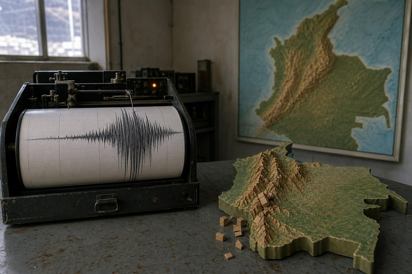
A magnitude-7.4 earthquake struck western Colombia on Monday morning, killing at least 21 people and setting off rescue operations across a broad belt of cities between the Pacific region and the Andes. The casualty count, compiled from preliminary figures given by local authorities, remained liable to rise as emergency crews searched collapsed buildings and tried to reach communities close to the epicentre.
The Colombian Geological Survey located the epicentre at San José del Palmar, a mountainous municipality in the department of Chocó. The earthquake began at 7.34am local time, or 12.34pm GMT. An updated Colombian bulletin put its depth at 96 kilometres, while the US Geological Survey also measured the event at magnitude 7.4. The relatively deep origin helped its waves travel over a wide area: shaking was reported throughout central and western Colombia and in neighbouring Ecuador and Panama.
By late Monday afternoon in Europe, local tallies reported at least 21 deaths. The first reports were fragmentary and communications were difficult in some affected districts, making the figure an early measure rather than a final account of the disaster.
People trapped in Cali
The most urgent reports came from cities far beyond the rural epicentral zone. Cali mayor Alejandro Eder said at least 20 structures had collapsed in the city and that people were trapped. He asked Bogotá and Medellín to send additional rescue personnel as firefighters and civil-defence teams moved between damaged properties.
Authorities reported fallen buildings or serious structural damage in Cali, Pereira, Quibdó and other western cities. In Manizales, part of a tower at the city’s neo-Gothic cathedral fell into the nave. Images from affected areas showed masonry scattered across streets and residents gathering outside homes while inspectors assessed cracks and unstable façades.
Chocó governor Nubia Carolina Córdoba said injuries and serious building damage had been recorded in Quibdó, the departmental capital. She also warned that aftershocks were a central concern.
“We have just been through a serious seismic event in Chocó. We are concerned about aftershocks. Although the epicentre was San José del Palmar, there are injured people and severe damage to buildings in the capital, Quibdó.” — Nubia Carolina Córdoba, governor of Chocó
The warning matters because damaged structures can become more dangerous during subsequent tremors. Authorities urged residents to avoid visibly cracked buildings and to leave routes clear for emergency vehicles. No tsunami warning was in force.
Six airports suspend flights
Colombia’s civil aviation authority suspended operations at the airports serving Pereira, Manizales, Quibdó, Armenia, Cartago and Buenaventura while engineers examined their infrastructure. The disruption complicated the first hours of the response in a region where mountainous terrain already makes road access slow and vulnerable to landslides.
The closures also demonstrated the reach of the earthquake. The epicentre lay in a sparsely populated, forested part of Chocó, but the shaking extended into the densely inhabited Coffee Axis and the Cauca Valley. Cali alone has about two million residents. Evacuations were also reported in Bogotá, hundreds of kilometres east of San José del Palmar.
President Abelardo de la Espriella ordered the creation of a unified command post to coordinate damage assessments and aid. He said he would travel to Pereira, among the hardest-hit cities, while the national disaster-management authority assembled a more detailed account of urgent needs.
A difficult first assessment
Colombia lies in a seismically active region where the South American, Nazca and Caribbean tectonic plates interact. Most of the country’s frequent tremors are too weak to be felt, but western Colombia has repeatedly suffered destructive earthquakes. The Coffee Axis around Armenia and Pereira endured a major disaster in 1999, a reference point that continues to shape building rules and emergency planning.
Magnitude alone does not determine an earthquake’s human cost. Depth, building quality, terrain and proximity to populated areas all matter. Monday’s shock originated well below the surface, yet it was powerful enough to damage structures across several departments. Rescue access may prove decisive in the more isolated municipalities of Chocó, where early information was limited.
The immediate priorities were to locate trapped residents, check hospitals and transport links, and determine which buildings could be re-entered safely. The confirmed toll described only what authorities had been able to verify during the first hours. With searches continuing in Cali and assessments still under way across the west, Colombia’s full measure of loss was not yet known.
Frequently asked
- Where was the earthquake’s epicentre?
- The Colombian Geological Survey placed it at San José del Palmar in the western department of Chocó.
- How strong was the earthquake?
- Both Colombian and US geological authorities measured it at magnitude 7.4.
- Which cities reported serious damage?
- Collapse or major structural damage was reported in Cali, Pereira, Quibdó and Manizales, among other western cities.
Sources
Around World
A look at recent reporting on world from the Étude newsroom.
More in World


Trending at Étude
Cross-border rail CFL to halt all trains between Luxembourg and Thionville for five weeks this summer
Banking Luxembourg bank interest rates in 2026: savings and mortgage figures published by Spuerkeess, BGL, Raiffeisen and BIL
Financial regulation Luxembourg regulator will let Israeli bond prospectus expire on 31 August
Pay explained What is the average salary in Luxembourg — and what's left after tax?