Walking the Grand Duchy
Hiking in Luxembourg: the Mullerthal Trail and the best trails
From the sandstone canyons of "Little Switzerland" to the ridges of the Ardennes, Luxembourg packs a remarkable variety of long-distance and circular trails into a tiny, easy-to-reach country.

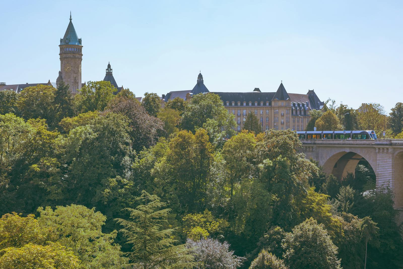
Luxembourg may be small, but for walkers it is unusually generous. In a country you can cross by train in under two hours, the landscape shifts from the wooded sandstone ravines of the east to the high ridges of the Ardennes in the north and the terraced vineyards along the Moselle in the south-east. Almost every trailhead sits beside a station or bus stop, and since 29 February 2020 all trains, trams and buses have been free for residents and visitors alike, which makes point-to-point hiking effortless.
The Mullerthal Trail: Luxembourg's Little Switzerland
The star attraction is the 112 km Mullerthal Trail, a "Leading Quality Trail – Best of Europe" that loops through the region known as Luxembourg's "Little Switzerland." Split into three main routes plus several shorter ExtraTours, it winds past surreal sandstone formations, mossy gorges and the much-photographed Schiessentümpel waterfall, whose three-arch stone bridge has been the symbol of the region since 1879. The historic town of Echternach serves as the cultural hub and a natural starting point.
The trail runs through the Natur- & Geopark Mëllerdall, which was awarded UNESCO Global Geopark status in 2022. The geopark covers 256 km², and its Luxembourg Sandstone formation reaches up to 100 metres thick, forming one of the most spectacular sandstone landscapes in Western Europe.
The northern long-distance trails
The rugged Éislek (Oesling) region in the north is home to the cross-border Escapardenne, which links Luxembourg and Belgium. It combines two waymarked routes:
- Escapardenne Eislek Trail — 106 km, Kautenbach (LU) to La Roche-en-Ardenne (BE), 5 stages
- Escapardenne Lee Trail — 53 km, Ettelbruck to Kautenbach, 3 stages, opened in 2018
- Mullerthal Trail — 112 km, Mullerthal region (east), 3 routes
Together the Escapardenne forms roughly 159 km of continuous trail from Ettelbruck to La Roche-en-Ardenne. The Lee Trail follows rocky ridges ("Lee" comes from the Luxembourgish for crag), strings together more than thirty viewpoints, and stays close to the railway so each stage end has a station.
Circular walks and regional routes
You don't need days to spare. More than 200 signposted circular trails, the Auto-Pédestre network, are dotted across the five tourist regions, each marked with a blue diamond and ranging from 5 to 15 km so they always return you to your start.
- Auto-Pédestre circuits — 5–15 km each, all five regions
- Circuit du Lac / Éislek Pad — Upper Sûre lake, Obersauer Nature Park
- Palmberg Traumschleife — 8.4 km, Moselle vineyards near Ahn
In the south-east, the Moselle offers gentler walking among the vines, including the premium Traumschleifen (dream loops), while the Upper Sûre lake in the Obersauer Nature Park rewards walkers with lake panoramas and the ruins of Esch-sur-Sûre castle.
Why Luxembourg works for hikers
The appeal is the combination: genuinely varied landscapes within a short radius, dense and reliable waymarking, and that free public transport which turns linear routes into simple day trips. Distances are human-scale, accommodation is well distributed, and the trail quality labels (Best of Europe, Premiumweg) are not marketing fluff.
Practical tips
Start your planning on the official Visit Luxembourg hiking portal, which lists routes, GPX tracks and stage breakdowns. Late spring through early autumn (May–October) offers the most settled weather and the fullest waterfalls after rain; the sandstone paths of the Mullerthal can be slick and root-laced, so wear proper footwear. Carry a printed or offline map for the forested gorges where signal can drop, plan stages around stations to exploit free transport, and book Escapardenne accommodation ahead in summer. Whether you have an afternoon or a week, Luxembourg makes it remarkably easy to walk well.
Frequently asked
- How long is the Mullerthal Trail?
- The Mullerthal Trail is 112 km long, divided into three main routes plus several shorter ExtraTours, and is rated a "Leading Quality Trail – Best of Europe."
- Is the Mullerthal region a UNESCO site?
- Yes. The Natur- & Geopark Mëllerdall, which covers the Mullerthal region, was awarded UNESCO Global Geopark status in 2022. It spans 256 km² and features the Luxembourg Sandstone formation up to 100 m thick.
- What is the Escapardenne trail?
- The Escapardenne is a cross-border long-distance trail in the northern Ardennes combining the 106 km Eislek Trail (Kautenbach to La Roche-en-Ardenne) and the 53 km Lee Trail (Ettelbruck to Kautenbach), about 159 km in total.
- Are there shorter hikes for a day out?
- Yes. More than 200 circular Auto-Pédestre trails of 5 to 15 km are spread across the five tourist regions, each marked with a blue diamond so they return you to your starting point.
- Is public transport to trailheads really free?
- Yes. Since 29 February 2020, trains, trams and buses are free throughout Luxembourg for residents and tourists (except first class and the foreign part of cross-border tickets), so you can reach most trailheads at no cost.
- When is the best time to hike in Luxembourg?
- Late spring to early autumn, roughly May to October, offers the most settled weather. Waterfalls run fullest after rain, but sandstone paths can be slippery, so wear sturdy footwear.
Around Culture
A look at recent reporting on culture from the Étude newsroom.
Related by topic
Other Étude stories tagged with the same topics as this article.
More in Culture


Kyiv Holds the Line, and the West's Economic Weapons Start to Bite

How to buy a property in Luxembourg: the process, costs and notary
Trending at Étude
Somalia Somalia Prepares First Offshore Oil Drilling After Decades of Delays
Cross-border rail CFL to halt all trains between Luxembourg and Thionville for five weeks this summer
Pay and employment Luxembourg minimum wage in 2026: current amounts and the next indexation forecast
Demography Japan Records a 10th Consecutive Record-Low Birth Year as South Korea's Fertility Rate Rises